| Ecosystem |
Faroe Plateau |
| Type |
Sea/Bay/Gulf |
| Salinity |
saltwater |
| Other Names |
|
| Location |
|
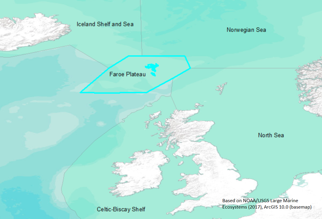
LME SAU No 60. Shelf around the Faroe Islands, Northeast Atlantic. LME2002, LME2006, SAU 2008. |
62° N 60° N - 8° W 4° W |
|
| Location Map |
Faroe_Plateau.png |
| Size Ref |
|
River Length |
|
Area |
104442 km2 |
Drainage Area |
|
|
| Depth |
|
Average Depth |
|
Max Depth |
|
Ref |
|
|
| Temperature |
|
| Description |
The relatively broad shelf surrounding the Faeroe Islands in the northeast Atlantic Ocean comprises the Faeroe Plateau LME. The islands and their shelf are affected by a branch of the North Atlantic Drift current, which flows north through this area. Commercial stocks inhabiting this LME include cod, herring, and capelin; the area also serves as important feeding grounds for pilot whales and other marine mammals (http://www.na.nmfs.gov/lme/text/lme60.htm). |
| Comments on faunal list |
Area from SAU (November 2015). |
| URL 1 |
http://www.seaaroundus.org/lme/60.aspx |
| URL 2 |
|
| Ecosystem Checklist Link |
|
| Total |
|
Species |
Families |
Species |
Families |
Reference |
|
175 |
88 |
|
|
35388 |
|