| Ecosystem |
Scotian Shelf |
| Type |
Sea/Bay/Gulf |
| Salinity |
saltwater |
| Other Names |
|
| Location |
|
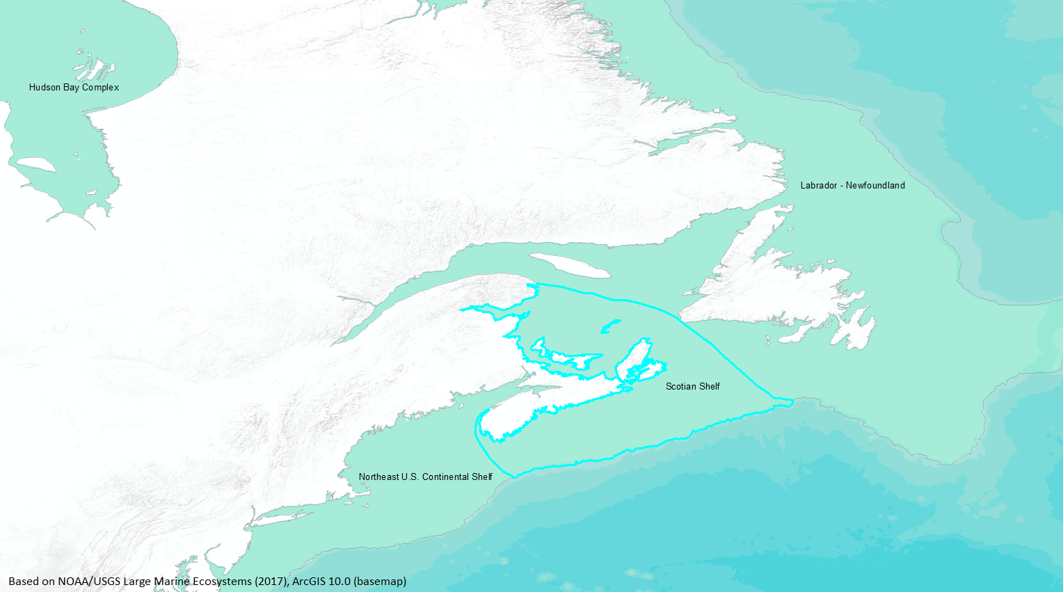
LME SAU No 8. Northwest Atlantic; shelf around Nova Scotia. LME2002, Modified LME 2006, SAU 2008. |
51° N 42° N - 71° W 55° W |
|
| Location Map |
Scotian_Shelf.png |
| Size Ref |
|
River Length |
|
Area |
284843 km2 |
Drainage Area |
|
|
| Depth |
|
Average Depth |
|
Max Depth |
|
Ref |
|
|
| Temperature |
|
| Description |
Surrounding Nova Scotia is the Scotian Shelf LME, an area that extends to the shelf break, more than 200 nautical miles (nm) from the Canadian coast at some points. As it is a region divided between high seas law and national jurisdiction of two countries (France and Canada), management of its resources will involve additional complexities. Currently, its main fisheries (cod, haddock, flounder, and other demersal fish) are overexploited, but a management scheme taking into account species interaction and biomass production is being initiated (http://www.na.nmfs.gov/lme/text/lme8.htm). |
| Comments on faunal list |
Area from SAU (November 2015). |
| URL 1 |
http://www.seaaroundus.org/lme/8.aspx |
| URL 2 |
|
| Ecosystem Checklist Link |
|
| Total |
|
Species |
Families |
Species |
Families |
Reference |
|
197 |
96 |
|
|
7251 |
|